Crops on the ground, eyes in the air
CALS scientists are launching a better future for agriculture through unmanned aircraft.
The Wright Brothers would have been amazed.
North Carolina, the state where the soaring siblings first lifted us to the heavens, is abetting another aviation revolution and NC State University’s College of Agriculture and Life Sciences researchers are in at the ground level.
CALS scientists are working to ensure lower future field crop production costs and a cleaner environment by exploring a rapidly expanding technology: unmanned aerial vehicles. They’re partnering in this effort with high-tech vendors, NC State’s Institute for Transportation Research and Education’s (ITRE) NextGen Air Transportation (NGAT) Center and others, as part of a multi-university consortium.

“With recent advances, small UAVs are poised to transform the field of precision agriculture,” says Rob Austin, North Carolina Cooperative Extension geographic information systems specialist. “Our objective is to provide the initial groundwork to position North Carolina as a leader in UAV use in agriculture.”
Austin and Dr. Josh Heitman, environmental soil physicist in CALS’ Department of Soil Science, are co-principal investigators on a $61,460 Golden LEAF grant-funded UAV-related project. With their research team, they’re not only looking at the most farm-worthy craft but also evaluating appropriate sensors and cameras, as well as establishing research parameters for later trials. And they’re calculating which systems best fit producers’ budgets.
For agricultural purposes, UAVs are speedy, pre-programmed, fixed-wing, low-flying, mini-aircraft, some of which can scout a 10-acre field in a minute. Supervised by a ground crew within a predetermined line-of-sight area, the craft come in a range of sizes, from smaller models comparable to a briefcase to those with buzzard-wingspan lengths. Electric motors are standard, as are programming software and hardware and radio communication equipment. Researchers also are testing rotary-platform “quadcopters,” which can hover to provide real-time images for spot inspections.
Austin ticks off UAV advantages: More efficient crop scouting, earlier yield predictions, enhanced irrigation management and control, and more precise nutrient and chemical applications under varying field conditions. The anticipated results include lower food production costs, increased crop yields and profits, and more precise on-farm practices that conserve water and improve water quality while reducing fertilizer and pesticide use.
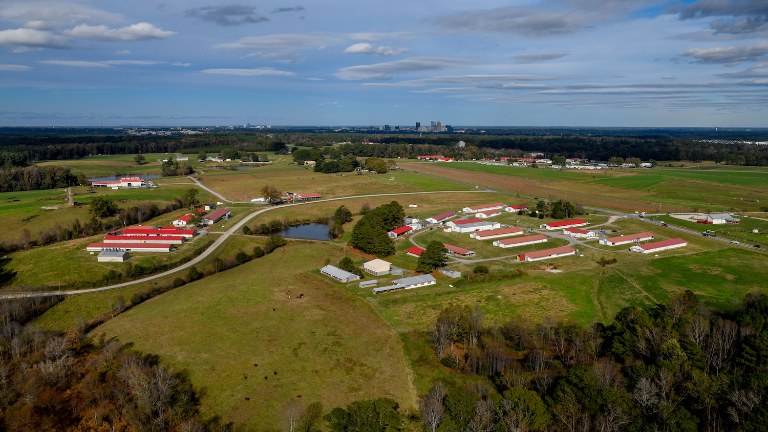
To those ends, researchers at Vernon G. James Research and Extension Center at the Tidewater Research Station at Plymouth, flying several UAV models, are harvesting baseline data, looking at digitally gridded wheat and corn fields’ responses to various nitrogen treatments. Vernon James is one of six Federal Aviation Administration-approved UAV test sites that include CALS’ Lake Wheeler Road and Butner Beef Cattle field laboratories.

Concurrently, Tom Zajkowski, ITRE’s flight operations manager for the NGAT program, is test-flying various other UAVs and providing sensors. He also trains FAA-required ground crews and pilots for five more FAA-approved North Carolina agricultural research sites. Kyle Snyder, NGAT director and center manager, coordinates all unmanned aircraft activities in North Carolina, including military, academic research and civilian. NGAT, funded by the N.C. Department of Transportation with state Office of Information Technology Services oversight, was recently named a UAV Center for Excellence.
“With UAVs, we can get the timely information we need,” says Dr. Ron Heiniger, project team member. Based at Vernon James, Heiniger is a Cooperative Extension corn specialist in CALS’ Department of Crop Science. He also trains producers to use GPS, GIS and related technologies.
Subject to an FAA-mandated top altitude of 500 feet, UAVs can swoop even lower, almost down to field level, so their high-resolution cameras can record extremely detailed images. And their programmable field-scanning speed and on-board equipment mean operators can work with initial calculations the same day as the scouting flight.
“Contrast that timeliness with the imaging data you get from a satellite,” he says. “They only go over once a day, and if it’s cloudy, it’s no good. And fixed-wing aircraft can scout fields, but can’t deliver real-time scans. Their results are more like a static snapshot; a GPS scouting by a UAV is like a motion picture. We’re looking at high-resolution images that would work well, for instance, on HD TV.
“You are always looking at ways to phenotype crops, to observe a composite of a plant’s characteristics such as leaf size or chlorophyll density, to indicate when nitrogen stress occurs, or when an infestation started,” Heiniger says. “In applying crop nutrients, time equals money. Two-to-three days without nitrogen is no good for plants, so to compensate, most farmers would over-apply nitrogen, and the excess would drain off to the watershed. We can literally launch an UAV from the side of the field and get the precise information we need to respond immediately. Not by walking the fields, but actually from an image, you can pick up that needy area.”

To be certain their comparisons are balanced, researchers analyze and compare algorithms and techniques designed for UAV-obtained high-resolution imagery against those used with publicly available satellite and piloted aircraft images. “We’ll see how well different optic systems do in depicting the amount of nitrogen in corn, to compare their worth in terms of predictive ability and grower value,” he says.
Here’s how:
Plant tissue – in this case wheat or corn – responds differently to different-wavelength light, especially in the near-infrared range. UAV onboard multispectral sensors record varying plant reflectance, called their spectral signature. Researchers compare these signatures with on-the-ground data. These include field spectrometer measurements of reflected energy from the visible to near-infrared, as well as tissue tests that measure nutrient levels at predetermined growth stages. They then can correlate sensor data with different levels of nutrients present in the crop.
To determine which instruments produce the most useful whole-field information, the team overlaps data sets to build larger mosaic images and compare various sensors’ abilities to measure the most efficient nutrient use and potential crop yields.
At season’s end, researchers will validate all UAV data with tissue test values to see how well these match a crop’s actual status and how it relates to crop yield.
What’s on the UAV adoption horizon?
“We are certainly hopeful of expanding to that next thing, not just to take images, but to carry in small amounts of herbicides to drop,” Heiniger says. “They already do that in Japan, where small, terraced fields and drift are a challenge, so we are setting up tests with different levels of fungicides and pesticides as a baseline. If we could deliver small amounts of those, we don’t need to treat the entire field, only a few plants, and without the time and fuel expenses.”
Data from UAVs may reap research gold, but it’s mined by craft that, with associated hardware and software, can run from a few thousand to several hundred thousand dollars.
For instance, while the Golden LEAF grant paid for the pint-sized, hand-launched, lithium-battery-powered FourthWing Vireos at Vernon James, California-based Trimble Navigation donated the $50,000, catapult-launched, delta-shaped UX5 Aerial Imaging model researchers tested at Lake Wheeler. Raleigh-based PrecisionHawk also offers models to test. This summer, researchers also are testing the $3,800 DJI Inspire rotary platform quadcopter purchased through the Golden LEAF grant.
But UAV manufacturers hope that for farmers already using GIS technology, the upmarket switch to UAVs might not be a deal breaker.
Indeed, Austin notes that for new technology to become accepted, benefits must outweigh expenses, so the team is calculating UAV operating and maintenance costs to provide growers a range of potential total investments associated with the various platforms.
Austin cites figures released by the Association of Unmanned Vehicle Systems International.
“After the first three years after integration in North Carolina, say by 2018,” he says, “UAVs – a transformative technology – are expected to contribute $153 million to the overall economy.”

By 2025, about $24 million of that sum will have accrued to the agriculture sector, as will a forecast 700 new jobs. “Research and development will focus on new, lightweight sensors and on highly trained operators who understand current regulations, air-worthiness and safety,” Austin says.
But the ultimate payoff, he says, is the UAV-generated imagery that will lead to better understanding of the dynamic, field-scale processes that control the soil-water-nutrient relations that drive yield, land sustainability and farm profit.
And then there’s the “X” factor.
“We are looking forward to seeing all the things the UAVs might do,” Heiniger says. “And we’re also looking for things we didn’t expect. Sometimes you discover something new every time you go out in the field.”
In addition to Heitman, Heiniger and Austin, UAV project researchers and their specialties include Drs. Deanna Osmond, Soil Science Department Extension leader, nutrient management and water quality, and Carl Crozier, who studies soil fertility management in the state’s Tidewater region. Also, Alan Meijer, Extension associate in soil tillage and soil management and graduate student and hand-held UAV launcher Joe Taylor, of the Soil Science Department. Gary Bullen, Extension associate in the Department of Agricultural and Research Economics rounds out the team. Crozier, Heiniger and Meijer are at Vernon James; the others are NC State campus-based.
– Art Latham
- Categories: